Thetford VT Riverfront Living Along the Ompompanoosuc
March 24, 2026
March 24, 2026
You hear the river before you see it. Morning light slides over the Union Village Covered Bridge as kids shuffle down to the sandy beach and someone eases a kayak into the calm water. Life along the Ompompanoosuc feels simple and close to nature, yet you are minutes from the Upper Valley’s jobs, arts and health care. In this guide, you will learn how the river shapes daily life in Thetford, where to launch a boat or swim, and what to know if you are buying along the water. Let’s dive in.
The Ompompanoosuc River rises in the hills above Vershire, gathers the West Branch, and meets the Connecticut River near Pompanoosuc. Its watershed includes Lake Fairlee, Miller Pond, and several smaller waters that draw paddlers and anglers through the seasons. For a deeper look at the river’s character and fishery, the state’s Basin 14 planning documents provide helpful context and maps of key reaches and tributaries. You can review the official overview in Vermont’s watershed assessment for Basin 14.
In Thetford’s lower valley, the Ompompanoosuc slows and meanders, creating quiet backwaters as it approaches the Connecticut. Upstream, the West Branch is steeper and rockier, with stretches of fast water set in deep forest. Historic bridges and remnants of village mills add a sense of time and place along the banks.
If you like to check conditions before you go, the USGS maintains a local river gauge at Tucker Hill Road in Thetford Center. It is a useful tool for tracking seasonal flow, planning a paddle, or timing a property visit after storms.
Thetford is a collection of small villages along the river corridor, including Thetford Center, Post Mills, Union Village, North Thetford, and Thetford Hill. You will find libraries, small businesses, and town events that give each village its own rhythm. The town’s community page is a good snapshot of services and civic life.
Many residents work in Hanover or Lebanon and enjoy a short commute on I‑91. Dartmouth College and Dartmouth Hitchcock Medical Center are the region’s anchors, so you can live by the water and still be close to work, health care, and culture. The town notes that a large share of residents make a roughly 20 minute drive to the Upper Valley for jobs and errands.
You also have easy access to trails and school programming throughout the year. Thetford Academy’s community ties and Thetford Hill’s open spaces keep people outdoors in every season.
If you want a simple launch with clear parking, start here:
You can view current access details and locations on the Paddlers Trail website.
The West Branch has short, rocky whitewater runs that come alive at medium to high flows. Paddlers rate sections from Class II to II plus or III, and they tend to time their outings to spring snowmelt or after significant rain. Before you go, confirm flows on the USGS gauge and review the state’s summary of West Branch paddling conditions in the Basin 14 report.
Union Village Dam Recreation Area is a favorite in summer, with a sandy swimming beach, picnic area, and short trails. It is a flood control site, so access can change during high water. There is no formal lifeguard program, and posted rules and seasonal notices apply. You can check current site information through the official recreation page.
Natural swimming holes along the West Branch, including popular ledges and pools, draw locals on hot days. Water quality and flow can vary by site and season. For the most up to date guidance on contact recreation, refer to Vermont’s watershed assessment for the Ompompanoosuc and follow any local signage at the site.
The river supports both coldwater and warmwater species. Tributaries and higher elevation reaches hold wild brook trout. State stocking programs enhance trout fishing on mainstem sections between Mill Village and Union Village Dam. Lake Fairlee adds bass, perch, chain pickerel, and stocked trout to the mix. In the lower backwaters near the Connecticut, you will encounter species typical of a slow, warm river. You can find species and habitat details in the Basin 14 documents.
When you are not on the water, Thetford Hill State Park and the Woods Hill trail network tied to Thetford Academy offer walking, running, cross‑country skiing, and snowshoeing. It is an easy way to build daily outdoor time into your routine.
Here is what a year often looks like:
You can preview park details and seasonal amenities through the Thetford Hill State Park page.
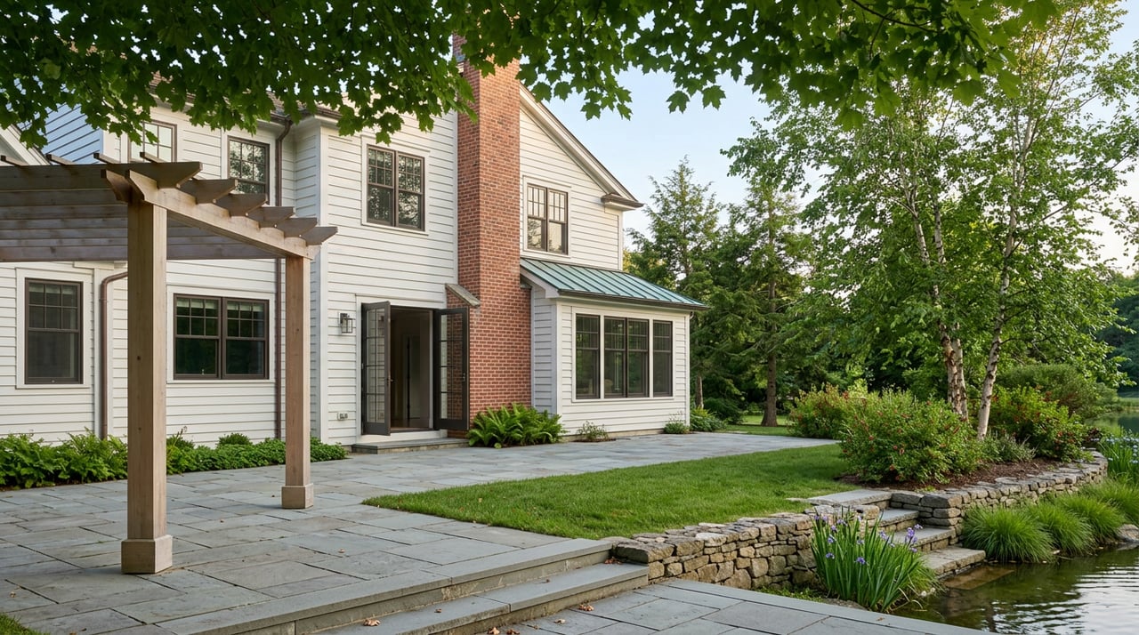
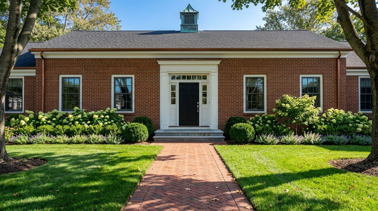
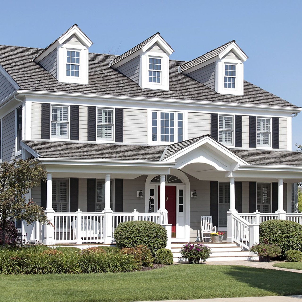
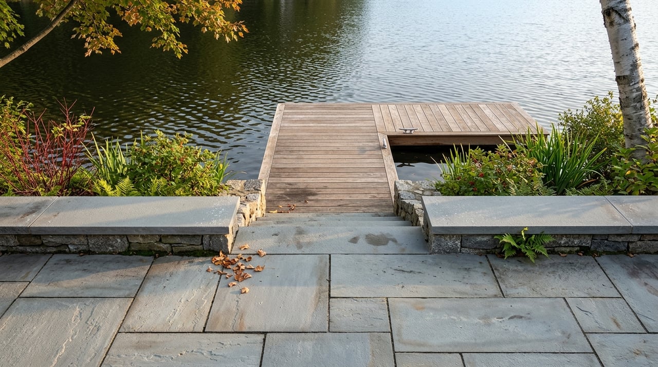
Along the Ompompanoosuc and nearby villages, you will see historic farmhouses, classic Capes, Victorian vernaculars, and mill‑era homes. Some properties combine main houses with barns or outbuildings. You will also find seasonal cottages, updated renovations, and, along the Connecticut, homes with small docks. The historic district near Thetford Center reflects the town’s mill past and enduring village character.
Riverfront and low‑lying parcels deserve careful review. A short checklist can help you move efficiently:
The Town of Thetford’s maps and GIS page is a practical first stop for flood and parcel layers.
Parts of the watershed have documented water‑quality impairments, including bacteria on a mainstem reach and legacy mining impacts in the West Branch subwatershed. If you are buying a home with a well or a river‑oriented lifestyle, plan for routine water testing and a full septic inspection. Vermont’s Basin 14 assessment explains where and why water quality can vary.
Riverbanks range from natural meanders to engineered edges. Lenders, insurers, and local bylaws may require evaluations for bank stability or riparian setbacks. If you want to add a dock or make shoreline changes, confirm town and state permit requirements in advance. Start with the town’s maps and planning resources and coordinate with state river‑corridor rules.
The Ompompanoosuc corridor has benefited from land conservation and river‑corridor protections. The Upper Valley Land Trust has helped protect key frontage, allowing the river room to meander and reconnect with its floodplain. This improves scenery and reduces flood damage risk to neighboring properties. You can read about local protections and why meander freedom matters in UVLT’s overview of Ompompanoosuc projects.
The watershed also carries an important restoration story. The Elizabeth Mine in South Strafford was a Superfund site whose acid drainage once affected the West Branch and downstream reaches. Cleanup and passive treatment projects led by federal partners have continued over the past two decades. The U.S. Army Corps of Engineers provides a helpful summary of cleanup milestones and ongoing work.
Use this simple list to make your first outing smooth and safe:
Thetford sits close to I‑91, with access near Exit 14 and a park‑and‑ride nearby. Regional bus services connect Upper Valley towns for occasional commuting without a car. You can review regional routes and links to providers through Tri‑Valley Transit’s regional connections page.
This is the balance many people come for. Quiet villages, river access at your doorstep, and a short drive to the Upper Valley’s jobs and amenities. When you know the lay of the land and water, daily life along the Ompompanoosuc feels both grounded and easy.
Ready to explore riverfront and village homes in Thetford and the Upper Valley with a trusted local advisor? Reach out to Alan DiStasio for thoughtful guidance and a curated search experience. Start the conversation with Alan DiStasio.
Stay up to date on the latest real estate trends.
July 23, 2026
July 16, 2026
July 9, 2026

Life In The Upper Valley
July 2, 2026

Life In The Upper Valley
June 25, 2026

Real Estate Guidance
June 18, 2026

Real Estate Guidance
June 11, 2026
Real Estate
June 4, 2026

May 28, 2026
Get assistance in determining current property value, crafting a competitive offer, writing and negotiating a contract, and much more. Contact me today.